|
Trip Date: 7.8.2001
Map
Reference (email me for the trail
map):
Colorado
Atlas and Gazetteer (DeLorme), p.48
The Roads of Colorado p.70-71, 87
Trails
Illustrated #109
STARTING POINT: Breckenridge Visitor
Information Center (GPS:N39.2911, W106.0274)
TRAIL: Boreas Pass Rd (10 Rd->FR404)
FINISHING POINT: Como at the intersection of US 285 and County/FR 33 (GPS:N39.1863,
W105.5316)
TOTAL MILEAGE: 21.3 miles
UNPAVED MILEAGE: 17.0 miles
DRIVING TIME: 1 1/4 hour
ROUTE ELEVATION: 9600 feet to 11481 feet
USUALLY OPEN: Late May to mid-October
DIFFICULTY RATING:1
SCENIC RATING: 8
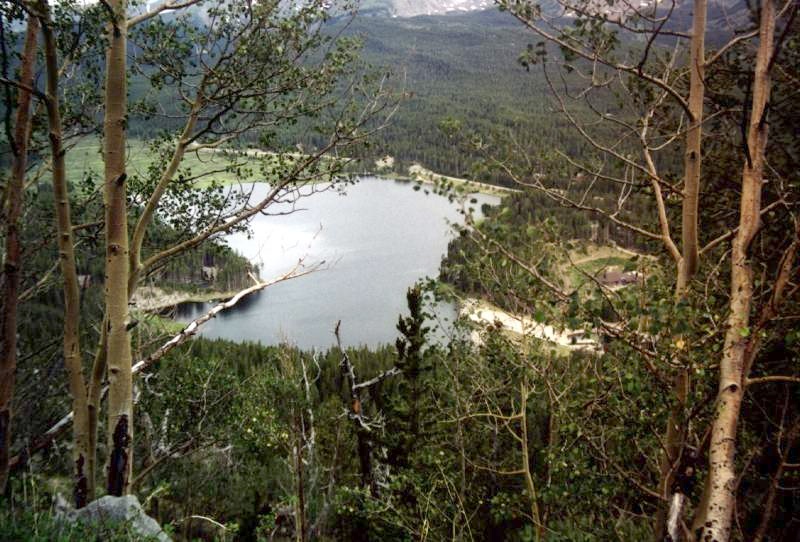
From Boreas Pass trail, you can see the beautiful
lake near Breckenridge.
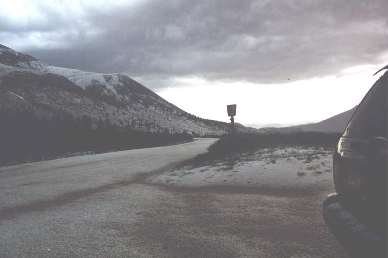
When we pass the top of Boreas Pass, it hailed
like cats and dogs. Mountains covered by white ice in just 10 minutes.
We call it "summer snow".

| 


