


 | |
Trip
Date: 8.11.2001
Map
Reference (email me for the trail
map):
Colorado Atlas and Gazetteer (DeLorme),
p.50, 62
The Roads of Colorado p.72,73,88,89
Trails Illustrated #135, #137
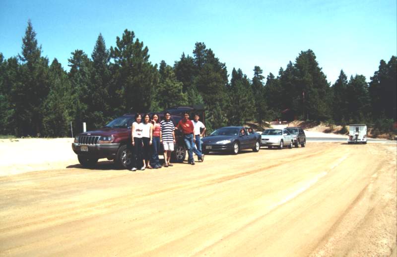
STARTING POINT: Sedalia
(GPS: N39.2633, W104.5765)
TRAIL: FR300
FINISHING POINT: Garden of the Gods in Colorado Springs
(GPS: N398.5198 W104.57377)
TOTAL MILEAGE: 65.1 miles
DRIVING TIME: 4 hour
ROUTE ELEVATION: 9340 feet to 5800 feet
USUALLY OPEN: Early April to December
DIFFICULTY RATING:1
SCENIC RATING: 6
|
|
This a wide, normally well-maintained,
unpaved 2WD road. The road may be corrugated and suffer some erosion, but it can
be safely traversed by a normal passenger car in good conditions.
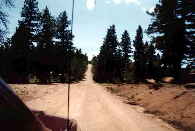
The route travels through pine forest with
occasional aspen groves and past many interesting, large rock formations.
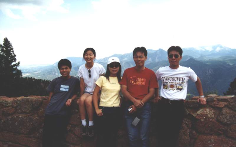
A viewpoint to see the beautiful Pikes
Peak.

|
