|
|
                |
Trip Date: 7.28.2001 Map
Reference (email me for the trail
map): STARTING
POINT: Montezuma (GPS:
N39.2484, W105.5202)
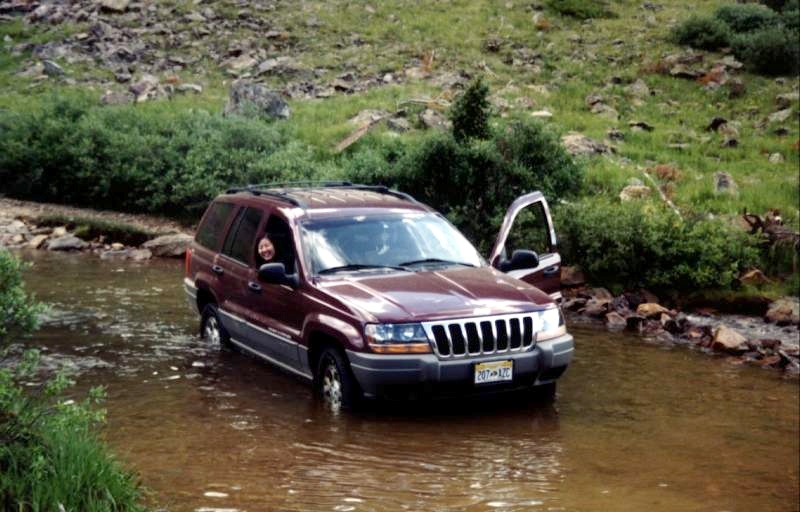
Cross Snake River. It's about 13" deep. I opened the door in the middle of river to wash my hands. Native Americans used Webster Pass for many years before the arrival of the white man. The route was the main freight route to the Snake River mining district. The road fell into disuse and was reopened in 1971 through the efforts of 4WD clubs.
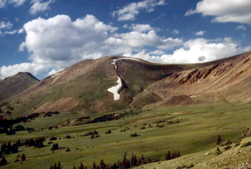
Attractive Snake River Valley.
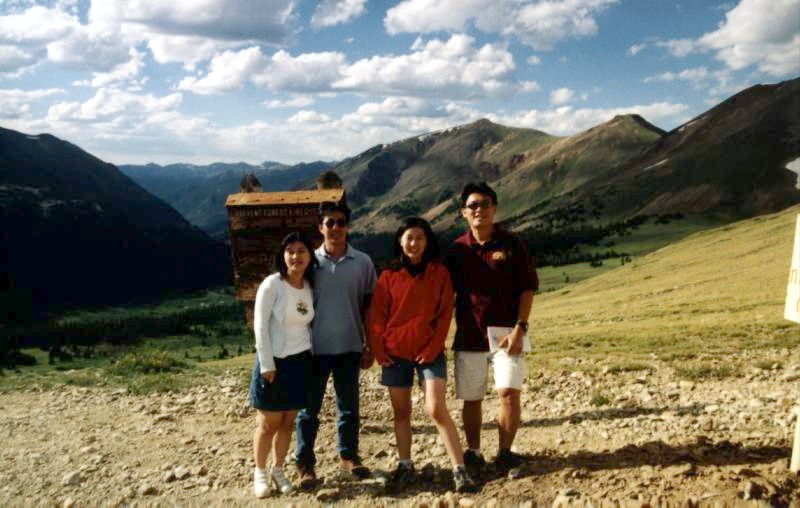
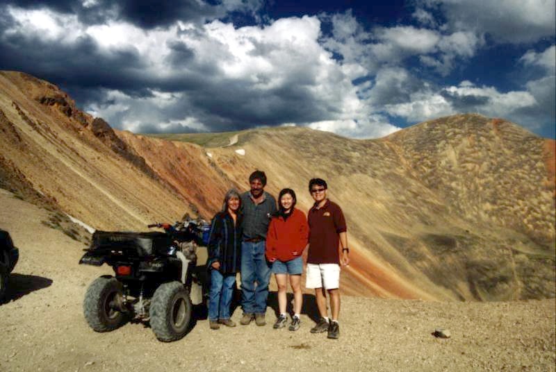
Top of Webster Pass. (->Alice, Ching-Chang, Naichin, Ying-Ti (Me)). Snake River Valley is the background of this photo. From the pass, there is a magnificent view of the Handcart Gulch area to the southeast. The road up Red Cone Peak is one way and cannot be entered from Webster Pass. A snowdrift usually blocks the alternative road into Handcart Gulch until late in Summer.
Another view at the top of Webster Pass.
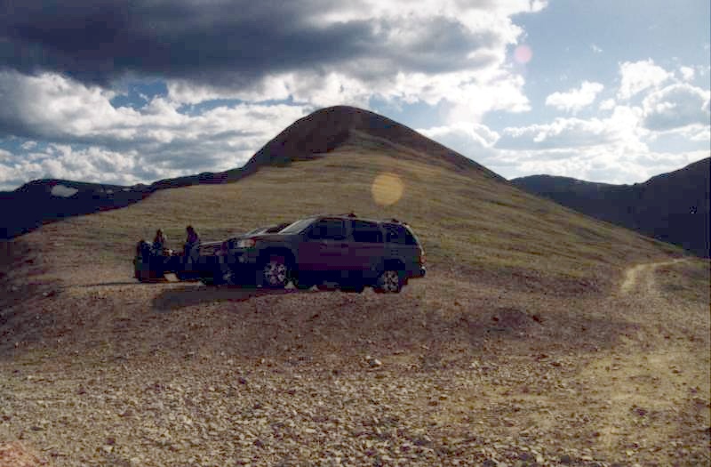
We meet a friendly couple. Like us, they love mountains very much! The background is Red Cone Peak. You can see the Red Cone Peak trail on the top of the peak.
|