Trip Date: 7.14.2001
STARTING POINT: Intersection of Guanella Pass Road(CR 381) and Waldorf Road(CR 352/FR 248)
FINISHING POINT: Top of McClellan Mountain
TOTAL MILEAGE: 9 miles
DRIVING TIME: 1 1/2 hour
ROUTE ELEVATION: 9900 feet to 13587 feet
USUALLY OPEN: Late May to mid-October
DIFFICULTY RATING:3
SCENIC RATING: 8
Access: Take I-70 West from Denver, exit Georgetown and continue through the town and exit on RD361, Guanella Pass Road. Continue up the switchbacks, past a small lake 3 miles until you come to a turn off with a sign indicating "Waldorf"
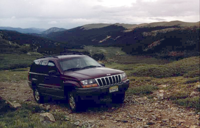
On the road to Mt. McClellan. Must cross some small
creeks.
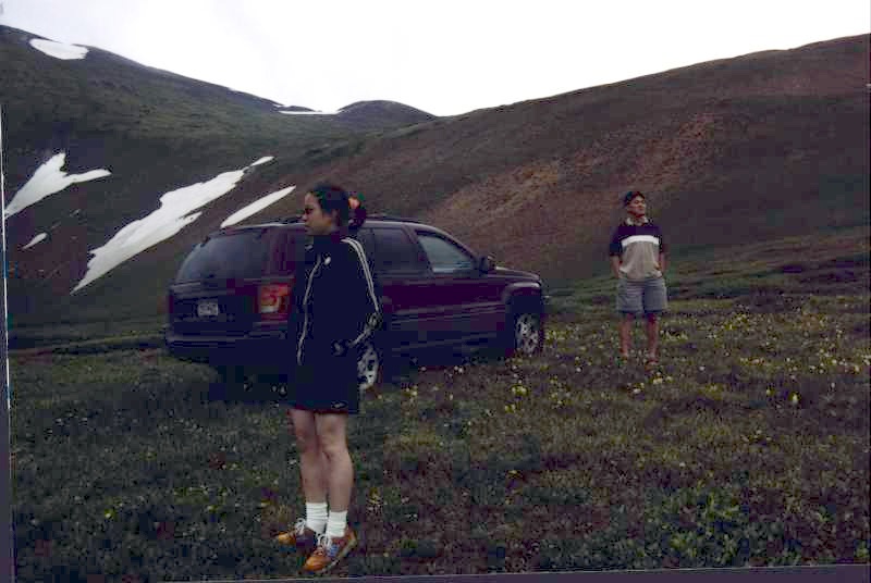
Eunice
(Left), Naichin's sister and me (Right). Good view near the Waldorf mine. A
little bit cold up there (4°C~7°C).
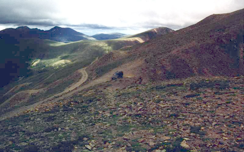
On
the top of Mt. McClellan (13587 ft). Some switchbacks, hard to turn and narrow
shelf road near the top.


