Trip Date: 6.22.2002
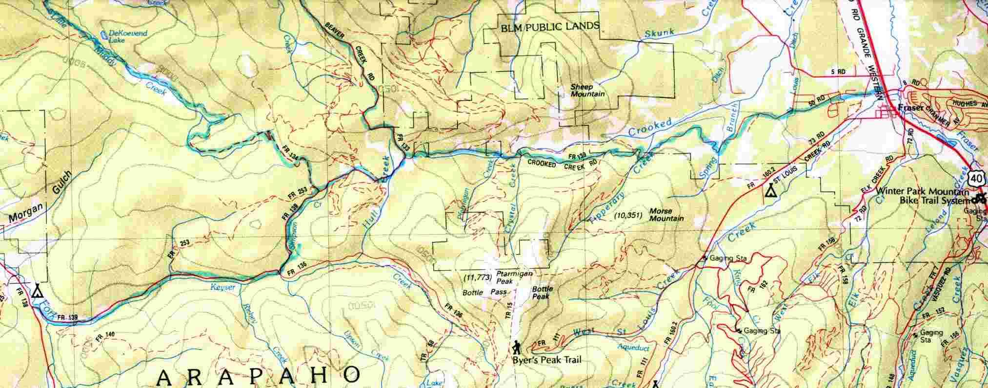
(Click to enlarge the map!!)
STARTING POINT: Intersection
of FR138 and Crooked Creek Road (FR139)
FINISHING POINT: Fraser
TOTAL MILEAGE: 18.5 miles
UNPAVED MILEAGE: 16.7 miles
DRIVING TIME: 1 hour
ROUTE ELEVATION: 8400 feet to 9800 feet
USUALLY OPEN: May to early December
DIFFICULTY RATING: 1
SCENIC RATING: 7
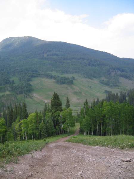
View from Crooked Creek Trail
FR 139 is an easy, maintained road that is suitable for cars in dry conditions.
It travels through spruce and pine forest, initially beside Keyser Creek.
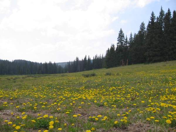
Beautiful small yellow flowers!
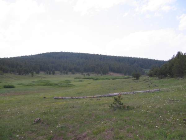
This trail is the backbone for numerous
trails in the area. In dry conditions, most are only moderately difficult.
There are many good backcountry camping spots that are well utilized in
hunting season.


