|
Trip Date: 7.7.2001
Map
Reference (email me for the trail
map):
Colorado
Atlas and Gazetteer (DeLorme), p.37,
47
The Roads of Colorado p.70
Trails
Illustrated #108, #109
STARTING
POINT: Intersection of North-Central Shire Pass Trail (FR 709) and FR
747 (GPS: N39.3138, W106.1950)
TRAIL: FR708->FR702->FR747
FINISHING POINT: Intersection of North-Central Shire Pass Trail (FR 709)
and FR 747 (GPS:
N39.3138, W106.1950)
TOTAL MILEAGE: 21.4 miles
UNPAVED MILEAGE: 21.4 miles
DRIVING TIME: 3 hour
ROUTE ELEVATION: 9200 feet to 11765 feet
USUALLY OPEN: Mid-June to late September
DIFFICULTY RATING:4
SCENIC RATING: 9
The way from Camp Hale to Ptarmigan Pass.
During World War II, this area was used as a training ground for Tenth
Mountain Division of the U.S. Army, based at the now decommissioned Camp
Hale Army Base.
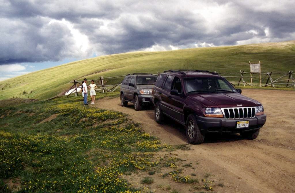

Left to right: Ching-Chang, Alice, Katy and I (Yingti).
It's the another direction view on Ptarmigan Pass.
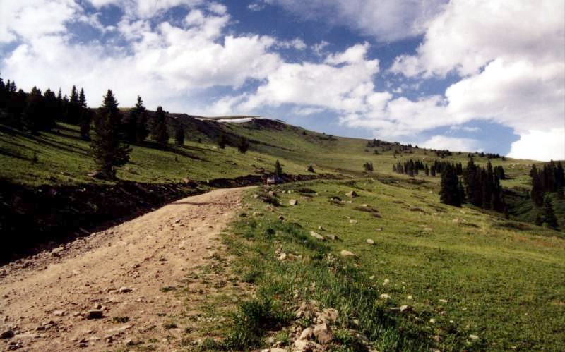
The road to the pass is wide and well maintained
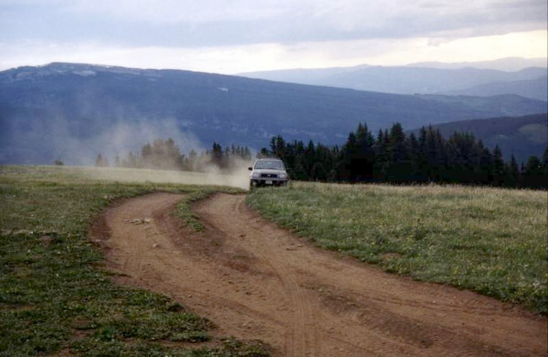
Ching-Chang's Pathfinder on Hornsilver Mountain.
The road rises above timberline into a broad alpine meadow and countinues
to the top of Hornsilver Mountain, from which point there is a spectacular
360-degree view; to the southwest is the Holy Cross Wilderness Area and
Mount of the Holy Cross.
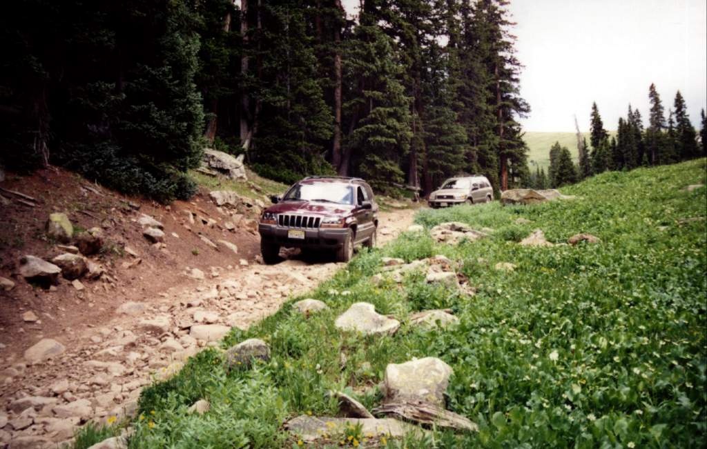
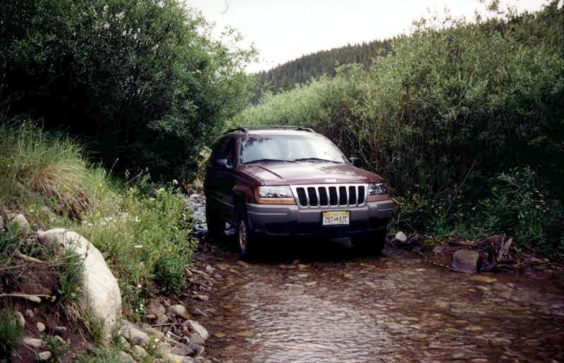
The trail from intersection of FR 747 and FR 708
starts to climb very steeply (sometime over 30-degree) and bumpy. Leaving
the top of Hornsilver Mountain, the route continues across a fairly level
ridge to Resolution Mountain. At around the six-mile point, the road commences
a very steep descent for about half a mile. Although this trail rating
is only 4, the difficulty of driving could be rating over 7.

| 


