|
Trip Date: 6.22.2002
Map
Reference (email me for the trail
map):
Colorado
Atlas and Gazetteer (DeLorme), p.38,28
The Roads of Colorado p.54
Trails
Illustrated #106, #107
STARTING
POINT: Intersection of Crooked Creek Road (FR 139) and FR 134 (GPS:
N39.5567, W106.0020)
TRAIL: FR134->County 3
FINISHING POINT: Intersection of County 3 and US 40 near Parshall (GPS:
N40.0309, W106.0992)
TOTAL MILEAGE: 17.8 miles
UNPAVED MILEAGE: 15.8 miles
DRIVING TIME: 1 1/4 hour
ROUTE ELEVATION: 7600 feet to 9900 feet
USUALLY OPEN: Late May to late November
DIFFICULTY RATING: 3 (7, if the trail is wet)
SCENIC RATING: 8
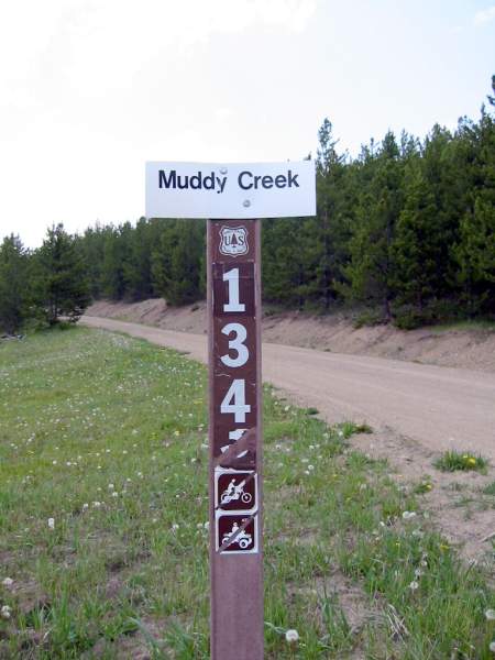
Muddy Creek trailhead.
Muddy Creek trail is a scenic road that is usually more challenging than
many of the others in the area.
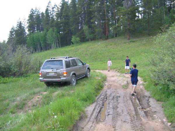
Boggy road!
The greatest problem you may face
is negotiating the many rutted mud holes.
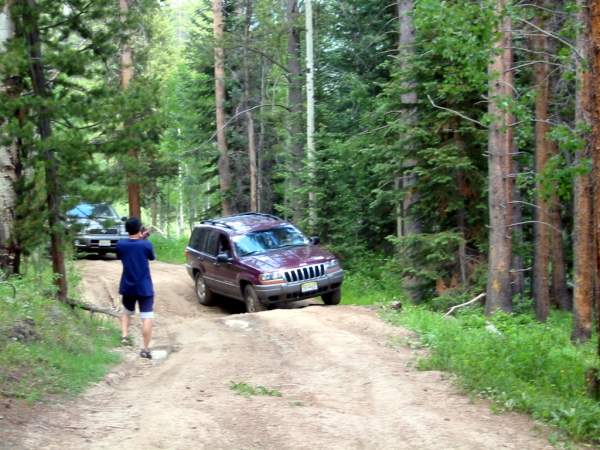
Bumping road!

We recommend mud tires and/or chains
if the weather conditions make mud likely.

| 


