


 | |
Trip Date: 8.5.2001
Map
Reference (email me for the trail
map):
Colorado
Atlas and Gazetteer (DeLorme), p.39
The Roads of Colorado p.71
Trails
Illustrated #103
STARTING POINT: Central City (GPS:
N39.4794, W105.3072)
TRAIL: Neveda Street -> FR 273.2 -> FR 739.1 -> County 2 ->
County 3
FINISHING POINT: Central City (GPS: N39.4794, W105.3072)
TOTAL MILEAGE: 8.2 miles
DRIVING TIME: 3/4 hour
ROUTE ELEVATION: 8600 feet to 9500 feet
USUALLY OPEN: June to October
DIFFICULTY RATING:3
SCENIC RATING: 8
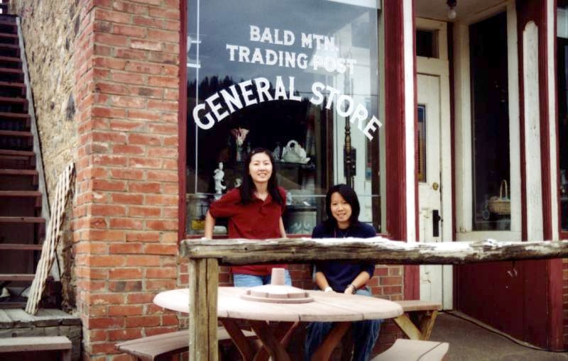
A trading post in Nevadaville. (->Naichin, Eunice)
Nevadaville, which was established at the same
time as Central City, was also known as Nevada and Nevada City. Within
its first year. Nevadaville had grown to more than 2000 residents, which
made it larger than Denver. However, lack of reliable water supply was
the big problem in this town, and Nevadaville also suffered five devastating
fires.
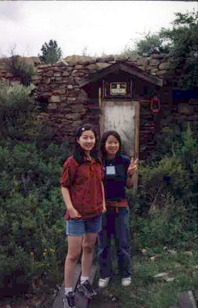 |
Naichin(left) and Eunice stood in
front of the old mining entrance.
The Leadville boom in 1879 caused many residents
to move on, and the town was nearly deserted in the wake of the 1893
silver panic. After the last fire in 1914, the town was not rebuilt.
Nevadaville staged a few brief revivals, but by 1930 the population was
two. Today, only a handful of structures remain. |
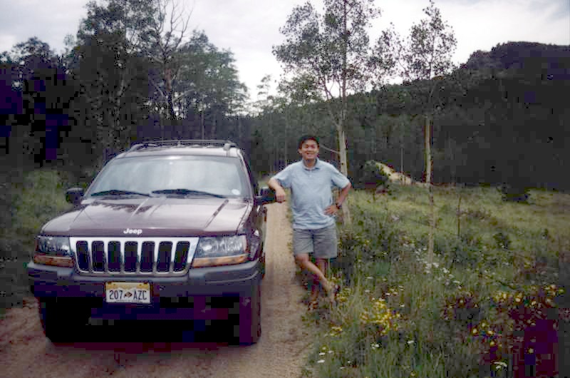
Jeep (left) and Me (Ying-Ti)
The road is easy to Nevadaville; from there it gets a
little rougher, but under dry conditions, it is not difficult at any point.
|
