Yakee Hill Trail

[ View My Guestbook] [Sign My Guestbook]

Home
Trail Ratings
Argentine Pass
Loch Lomond
Muddy Creek Trail
Crooked Creek Trail
Kebler Pass Road
Yakee Hill Trail
Shrine Pass Trail
Rollins Pass Trail
Nevadaville Loop
Rampart Range Road
Ptarmigan Pass Trail
Boreas Pass Trail
Mt.McClellan Trail
Webster Pass Trail

Trip Date: 6.23.2001

Map Reference (email me for the trail map):
Colorado Atlas and Gazetteer (DeLorme), p.39
The Roads of Colorado p.71
Trails Illustrated #103

STARTING POINT: Intersection of Fall River Road (County 275) and York Gulch Road (FR 277.3) (GPS: N39.4624, W105.3354)
TRAIL: 277 Rd (York Gulch Road) -> FR 175.1 -> FR 175.2 -> FR175.3 -> FR 175.4
FINISHING POINT: Silver Lake
(GPS: N39.4981, W105.3836)
TOTAL MILEAGE: 8.8 miles
DRIVING TIME: 1 hour
ROUTE ELEVATION: 8100 feet to 11000 feet
USUALLY OPEN: June to October
DIFFICULTY RATING: 5
SCENIC RATING: 7

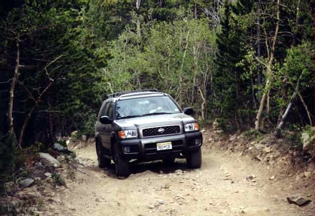
My friend John's Pathfinder on Yankee Hill Trail. Rough surface and a moderately steep grade with a loose make its difficulty rating 5.


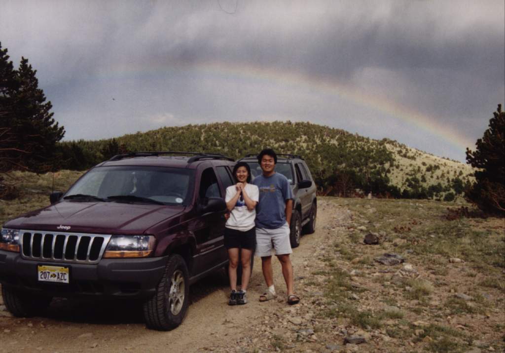
Naichin and me were on the top of Yankee Hill. You can see there is a rainbow behind us. What a beautiful day it would be!


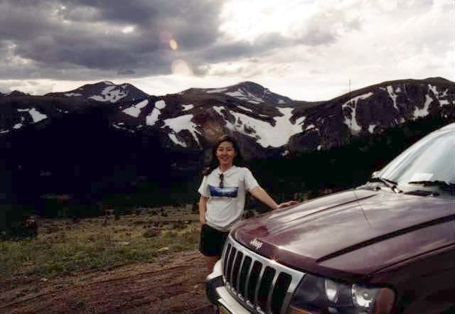
You can see St. Mary Alice Glacier on Yankee Hill. My girl friend wore her Glacier Nation Park's T-shirt and took a picture in front of St. Mary Alice Glacier. Hmm.......