Kebler Pass Road

[ View My Guestbook] [Sign My Guestbook]

Home
Trail Ratings
Argentine Pass
Loch Lomond
Muddy Creek Trail
Crooked Creek Trail
Kebler Pass Road
Yakee Hill Trail
Shrine Pass Trail
Rollins Pass Trail
Nevadaville Loop
Rampart Range Road
Ptarmigan Pass Trail
Boreas Pass Trail
Mt.McClellan Trail
Webster Pass Trail

Trip Date: 5.25.2002

Map Reference (email me for the trail map):
Colorado Atlas and Gazetteer (DeLorme), p.57,58
The Roads of Colorado p.84
Trails Illustrated #133, #131

STARTING POINT: Intersection of Colorado 133 and County 12 near the Paonia Reservoir
TRAIL: 12 Rd
FINISHING POINT: Crested Butte
TOTAL MILEAGE: 29.9 miles
UNPAVED MILEAGE: 27.9 miles
DRIVING TIME: 1 1/4 hour
ROUTE ELEVATION: 6640 feet to 10000 feet
USUALLY OPEN: Late May to early October
DIFFICULTY RATING: 1
SCENIC RATING: 6

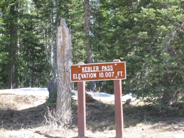
Midway on Kebler Pass Road.

Kebler Pass provides access to Crested Butte from either Grand Junction or Glenwood Springs, via CO133.The road offers excellent views of the Ruby Range to the north and the surrounding West Elk Mt.
 

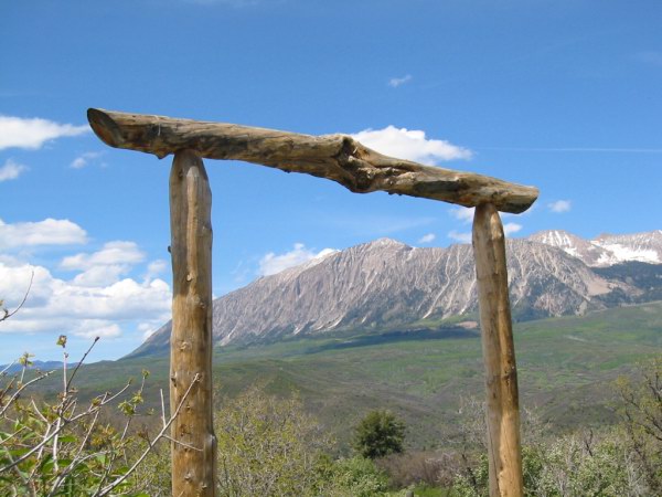
Have fun on Kebler Pass road !!

In the fall, enormous stands of bright yellow aspen bring the scenery to life.

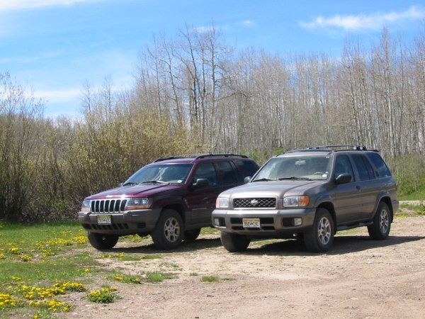
The cars ad again!!

Kebler Pass road follows the old railway grade and is a wide, well-maintained road suitable for passenger cars.!!

Kebler Pass is named for John Kebler, president of Colorado Fuel and Iron Corporation, which owned many prosperities in Colorado and mined coal in the area.