STARTING POINT: Redcliff
TRAIL:
FR 709 (Turkey Creek
Rd) -> FR 16 (Shrine Pass Rd)
FINISHING POINT: I-70, at exit 190 near Vail Pass
TOTAL MILEAGE: 10.8 miles
UNPAVED MILEAGE: 10.7 miles
DRIVING TIME: 3/4 hour
ROUTE ELEVATION: 8800 feet to 11089 feet
USUALLY OPEN: Mid-June to late September
DIFFICULTY RATING: 2
SCENIC RATING: 8
Midway on Shrine Pass Trail.
Shirne Pass is so named because it overlooks and provides a wonderful
view of the Mount of the Holy Cross, a famous fourteen-thousand-foot peak.
Before 1940, the pass road served as the main route between Denver and
Grand Junction.

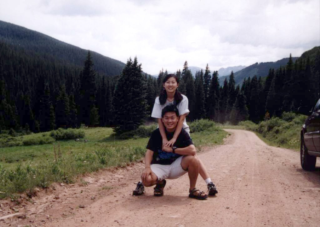
Ching-Chang (Right) and I took a rest
on the intersection of FR 709 and FR 747 which is the starting point of
Ptarmigan Pass Trail.
Shirne Pass Trail is easy and accessible to 2WD vehicles the entire distance.
The huge stands of aspens attract many sightseers in the fall.
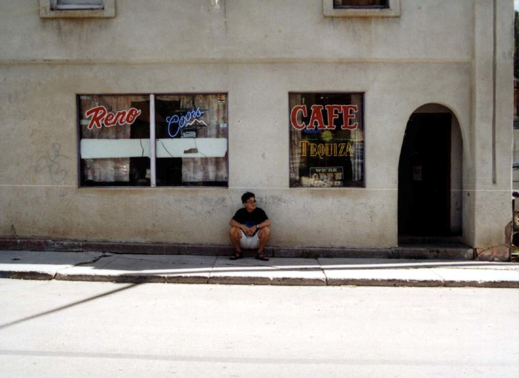
In front of a cafe in Redcliff. Redcliff
is a small but friendly town. I had been asked "Want a Coors Light?" in
this town, but I said "I never drink and drive". Maybe I better to ask
for a bottle of water.
Redcliff is like the place I grew up, Pu-Li in Taiwan.


